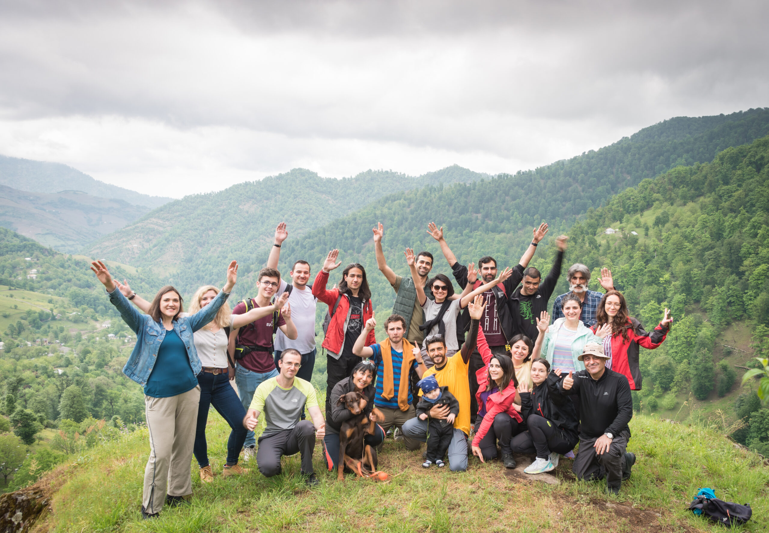
Expedition Overview
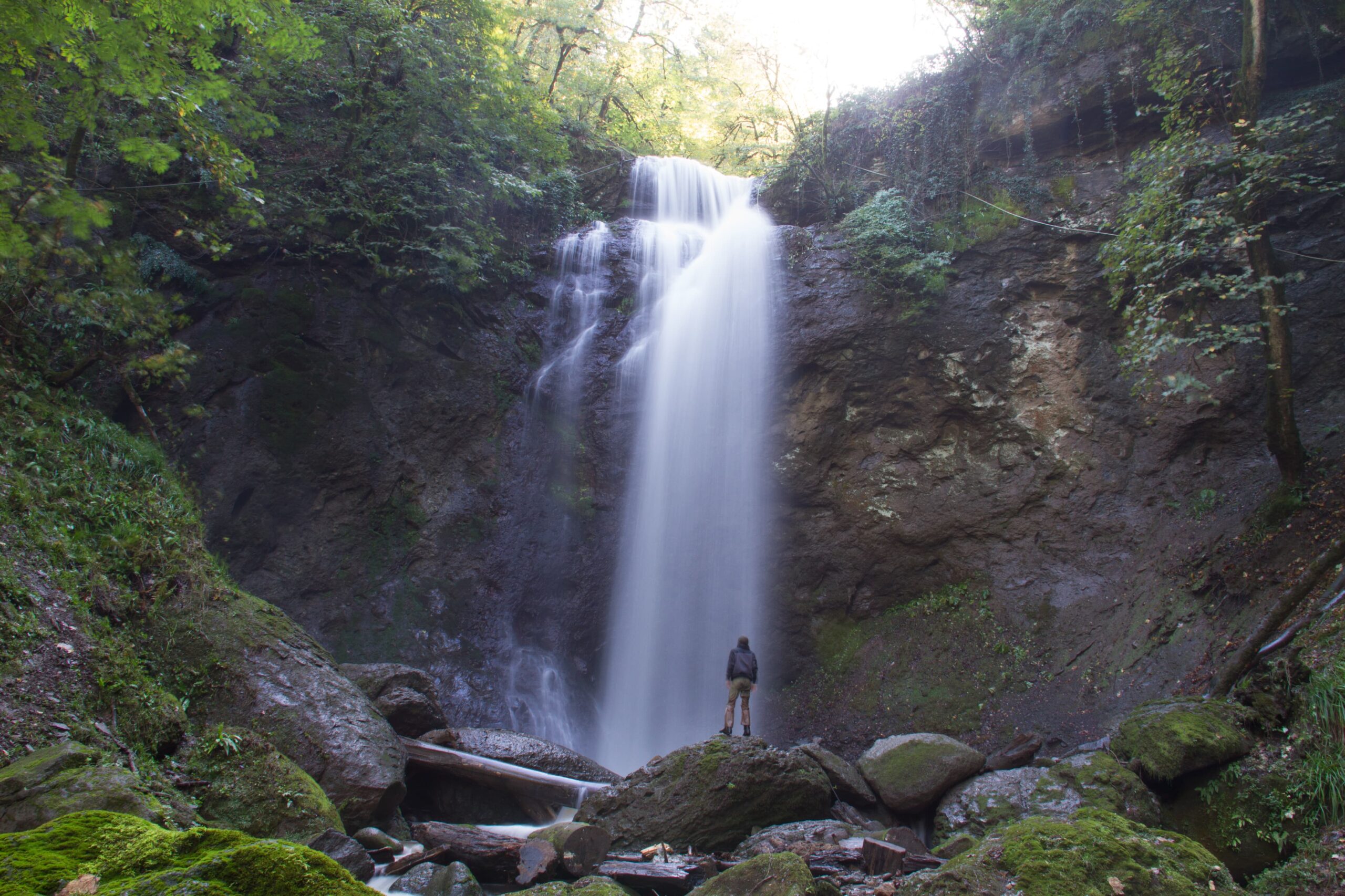
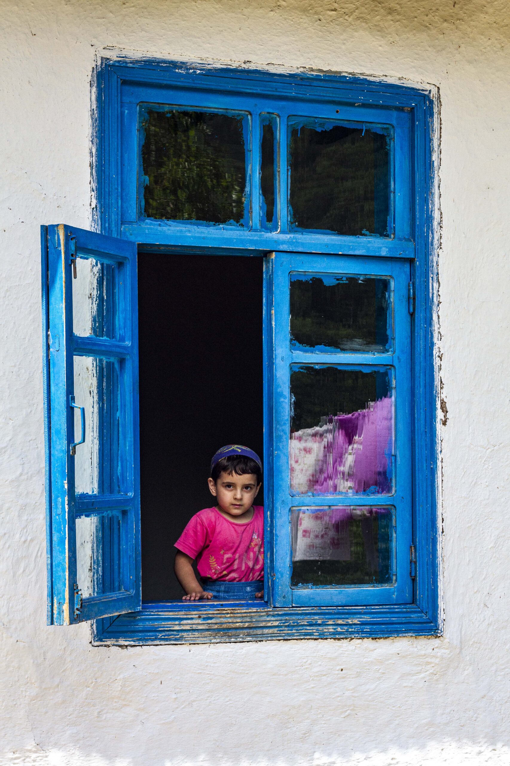
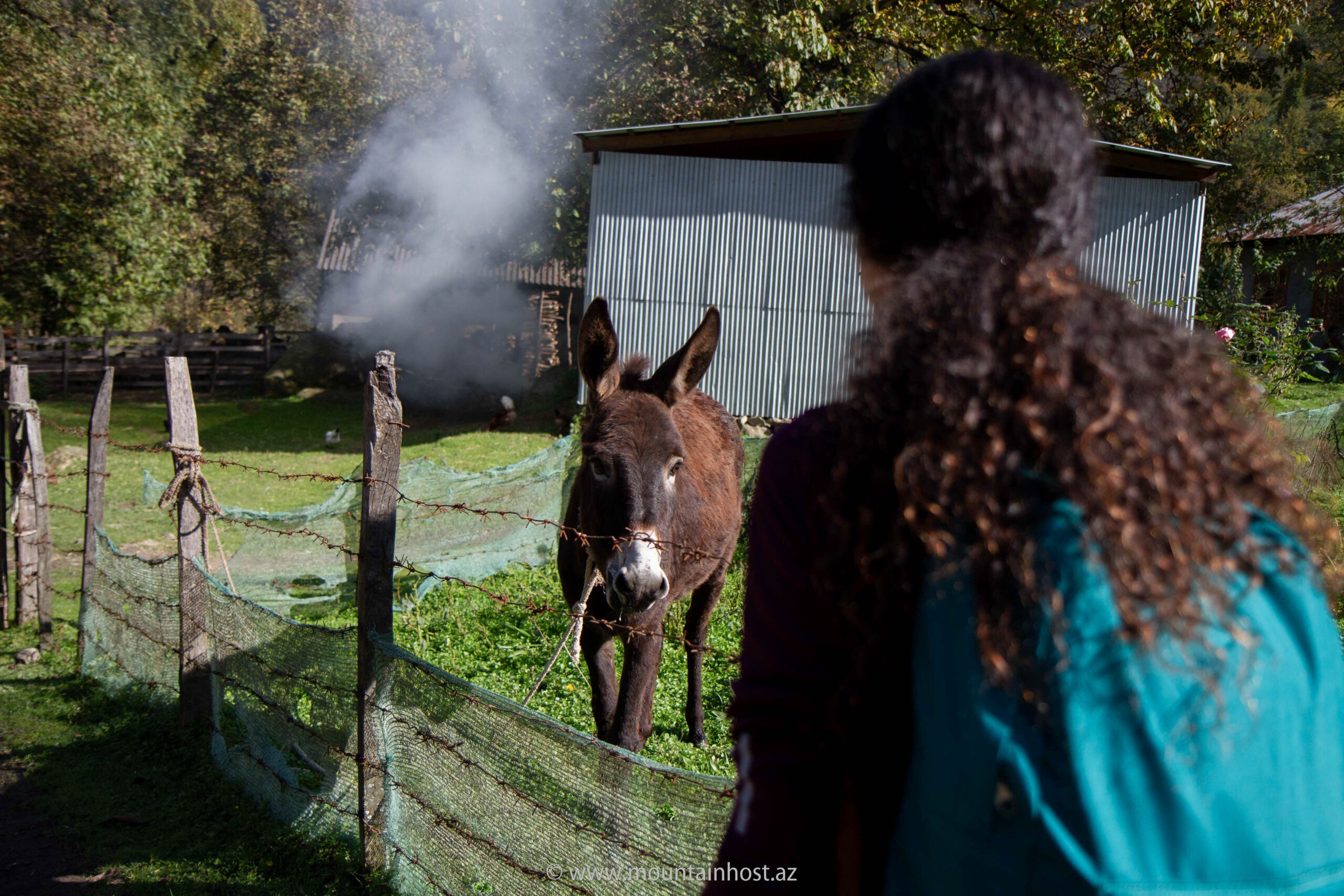
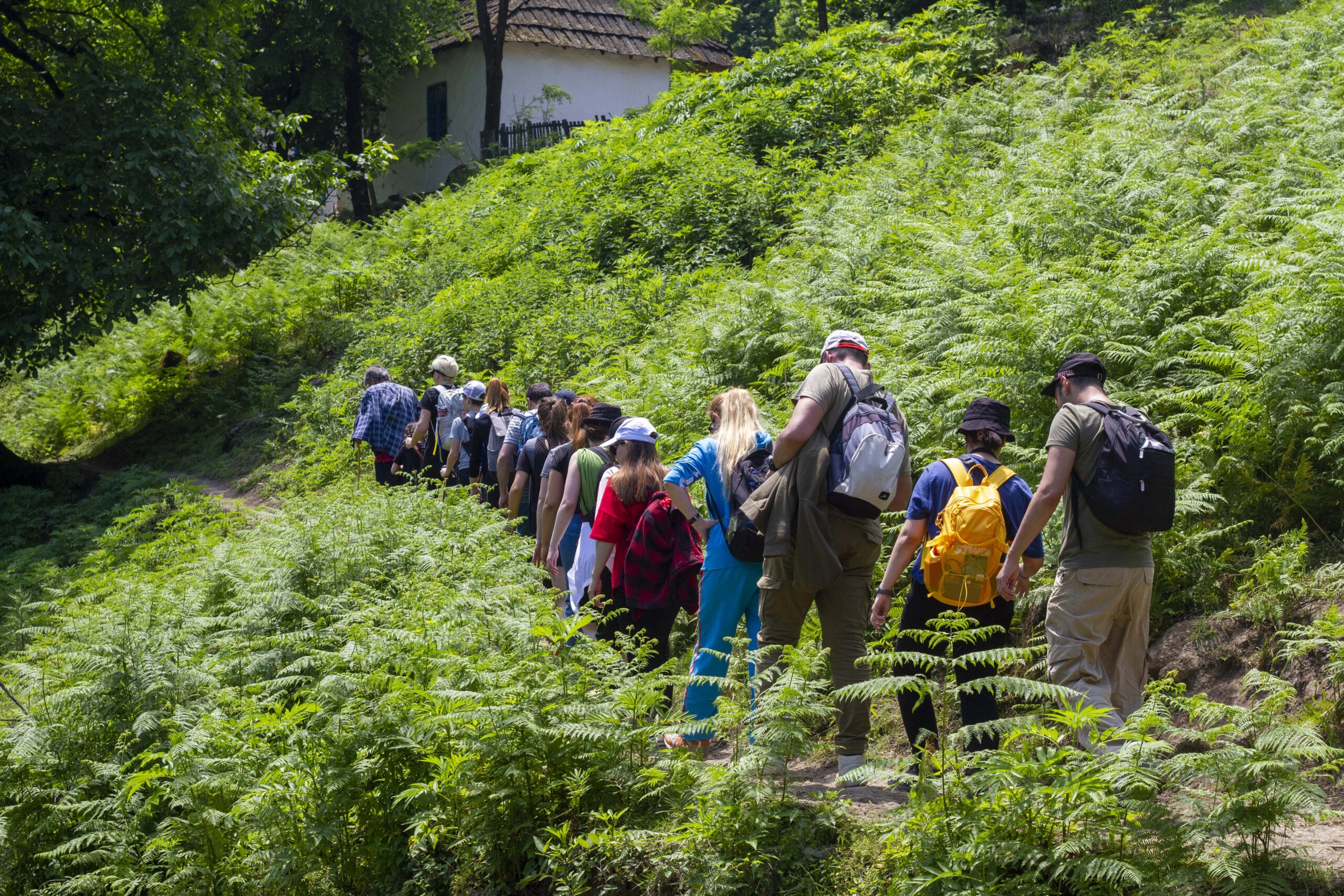
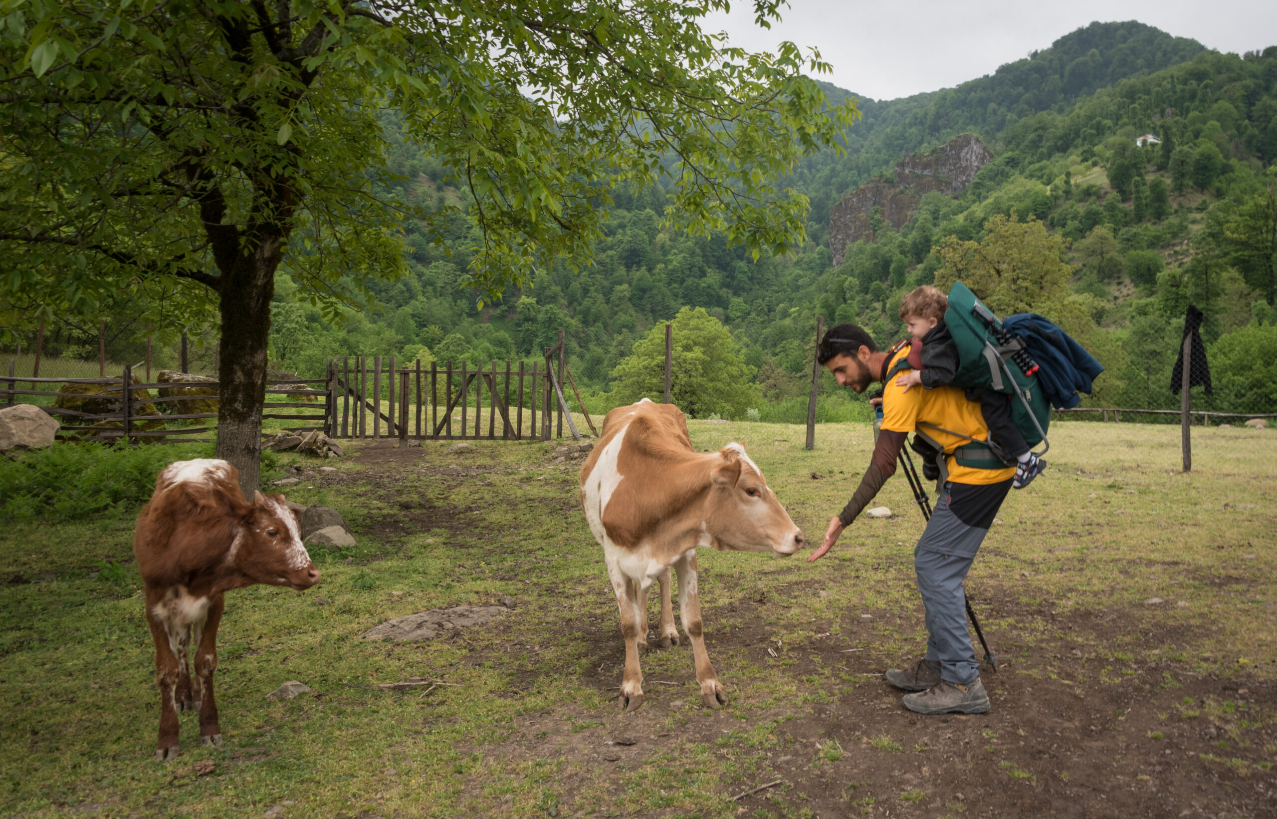
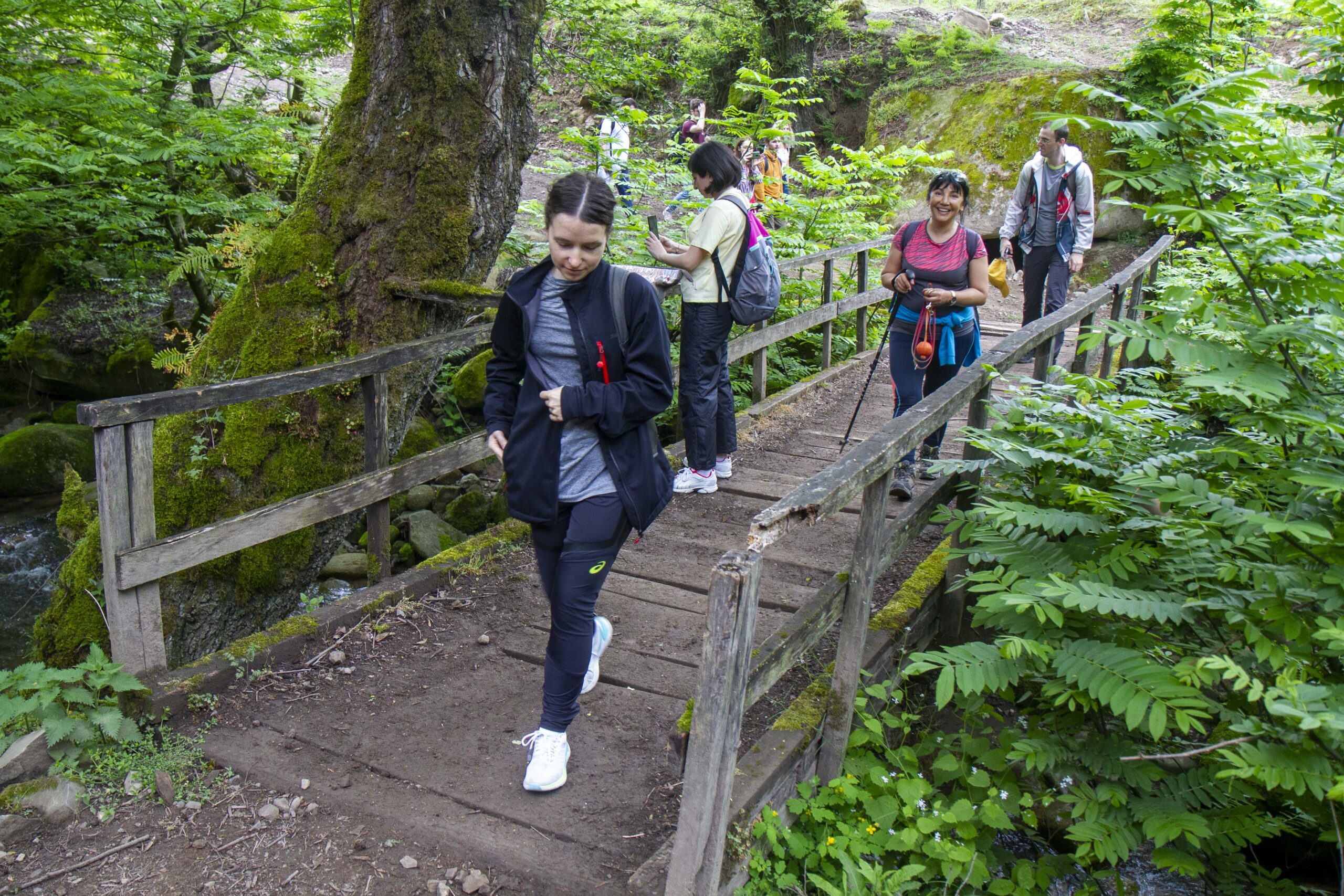
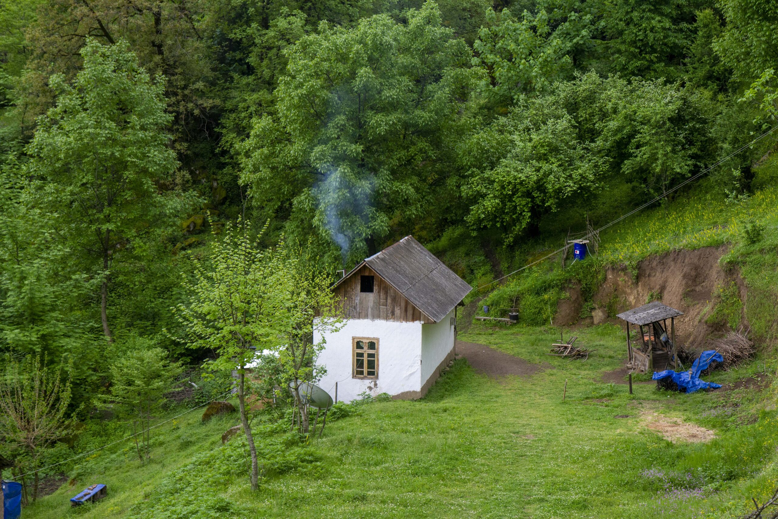
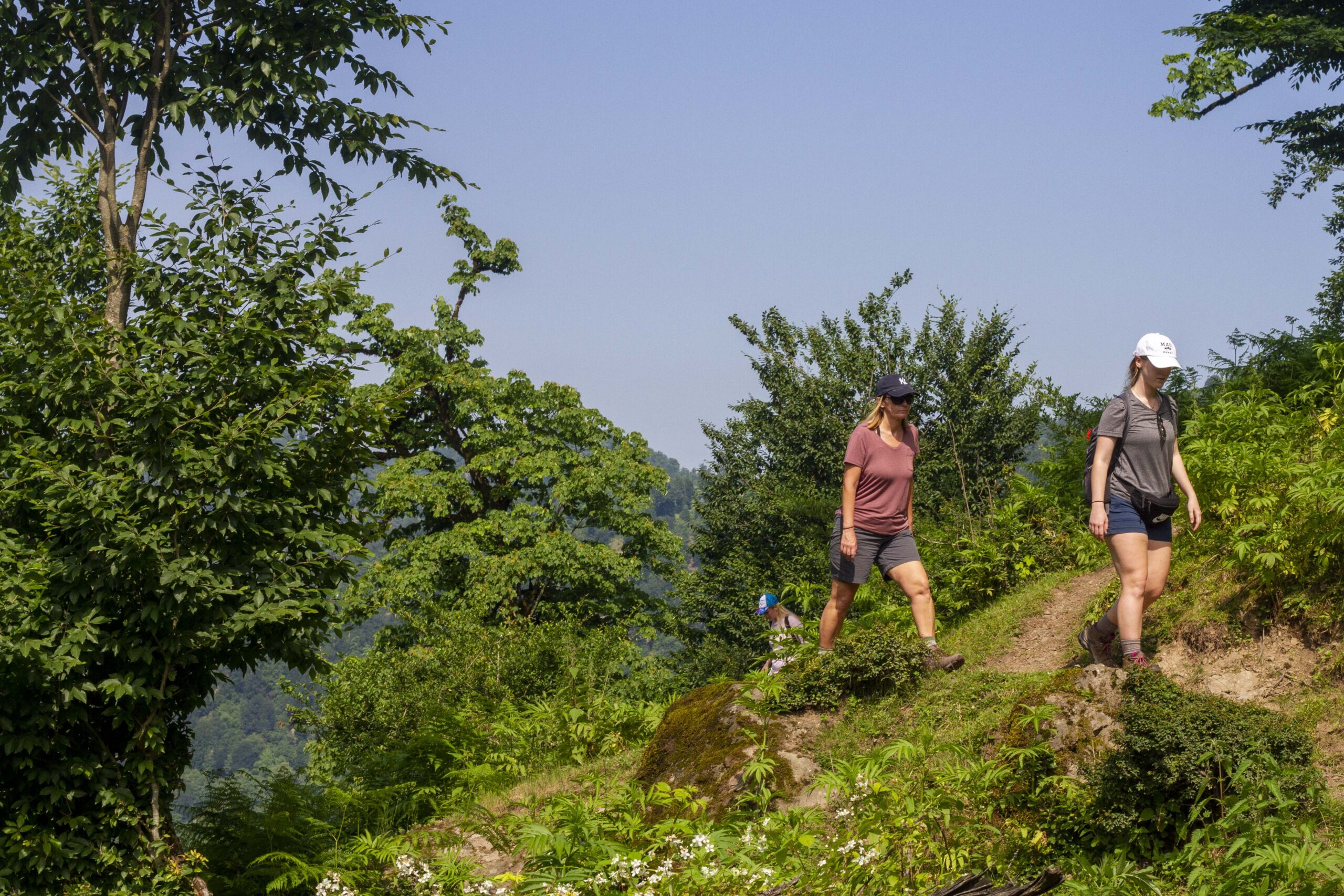
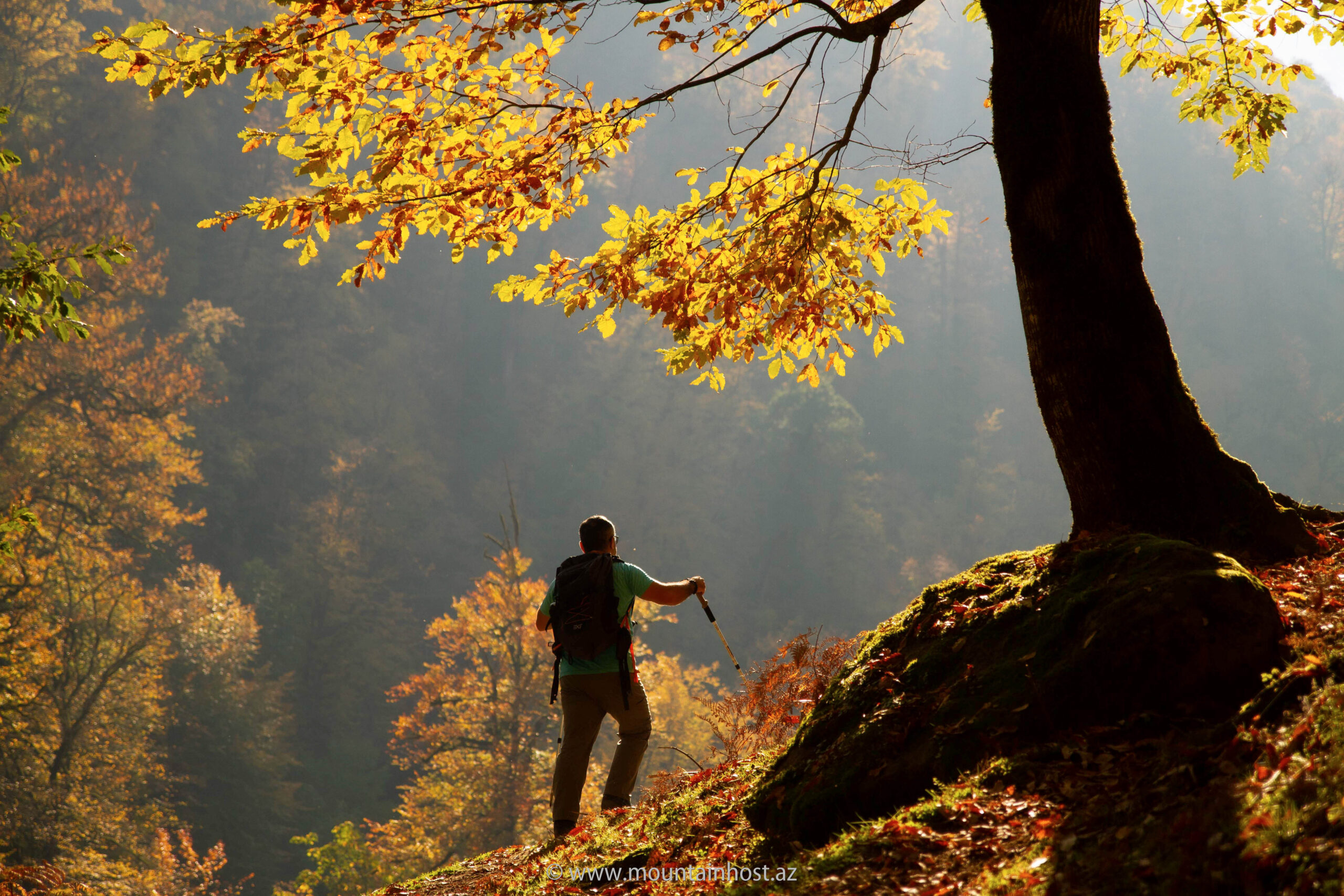
Sim village is a remote treasure in Astara, known for its "High & Steep" landscapes. Our unique Ballıgaya route offers an immersive experience through ancient Talysh heritage, mossy rocks, and pristine forest paths. Unlike standard paths, this road leads to breathtaking views of the village and the majestic Sym waterfall, finishing with a traditional tea session in an authentic village house.
Trail Details
ALTITUDES
Start Height: 374m
Final Height: 771m
Vertical Gain: 434m
MOVEMENT
Ascent: 434m
Descent: 37m
Effort: Easy / Scenic
LOCATION
Astara District
Talysh Mountains
Sim (Sym) Village
HIGHLIGHTS
Ballıgaya Forest Route
Sym Waterfall
Mossy Rock Formations
Trip Itinerary
Sim Village & Waterfall: Full Day Program
07:00 - 11:00
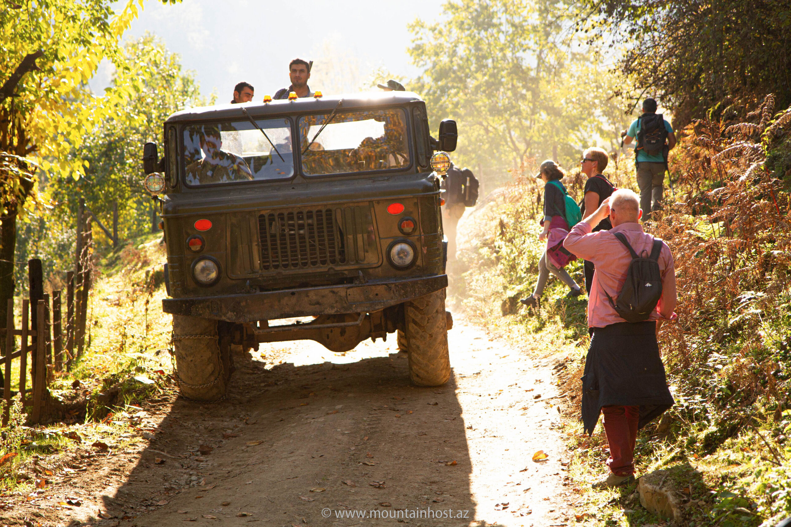
Baku - Astara drive (with two 10-min Market/Need breaks)
11:00 - 14:00
Hike through Sim village to Ballıgaya & 1-hour picnic
14:00 - 16:00
March to Sym waterfall and exploration of the mossy village
16:00 - 17:00
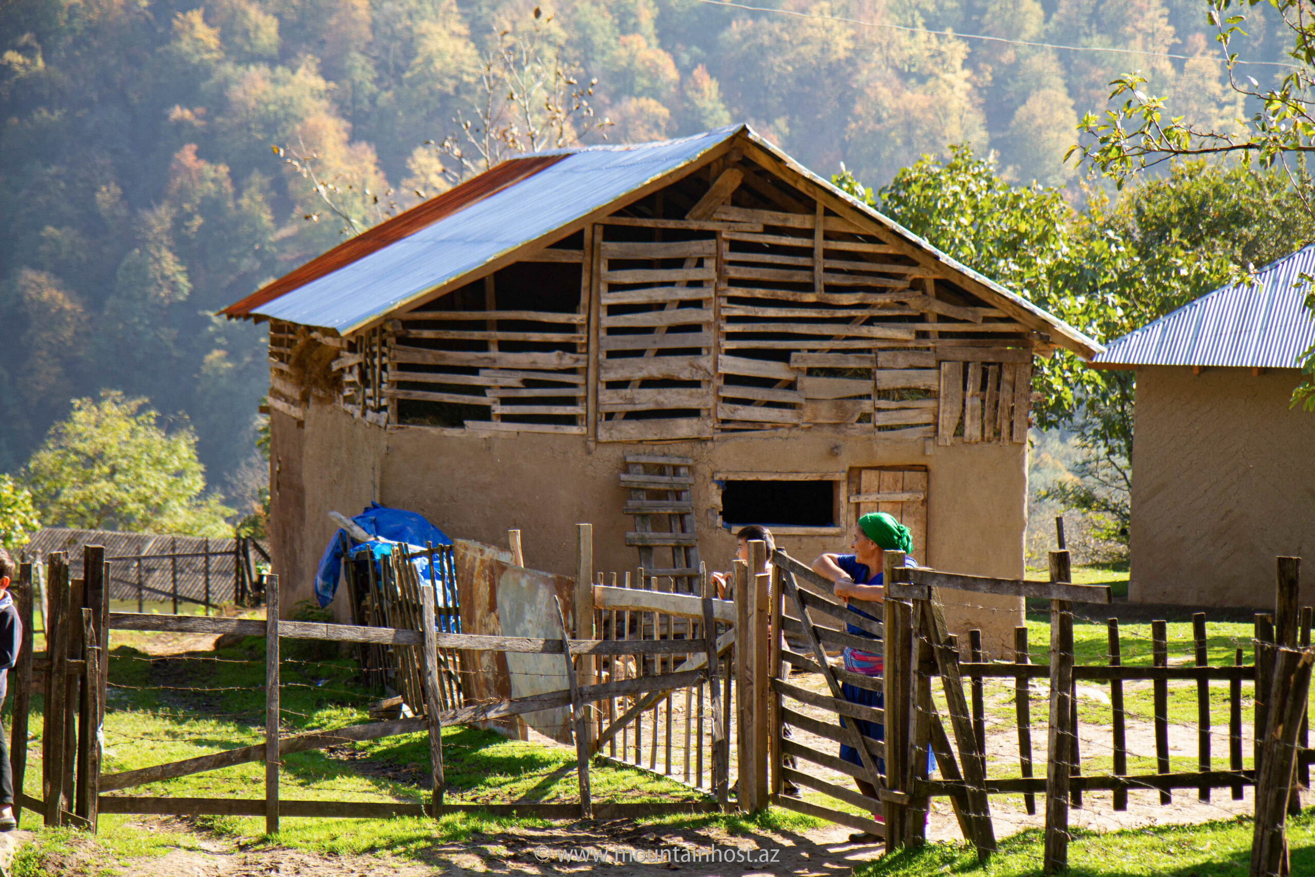
Traditional Hot Meal and Tea at a local village house
17:00 - 21:00
Return journey: Astara - Baku drive
Service Included:
Standard Transport, Traditional Lunch & Tea, Domestic Travel Insurance, Professional Mountain Guide.